Kamakura · Around Kamakura Station
Tsurugaoka Hachimangu
How to get there and what to see · facts checked 2026-10-24
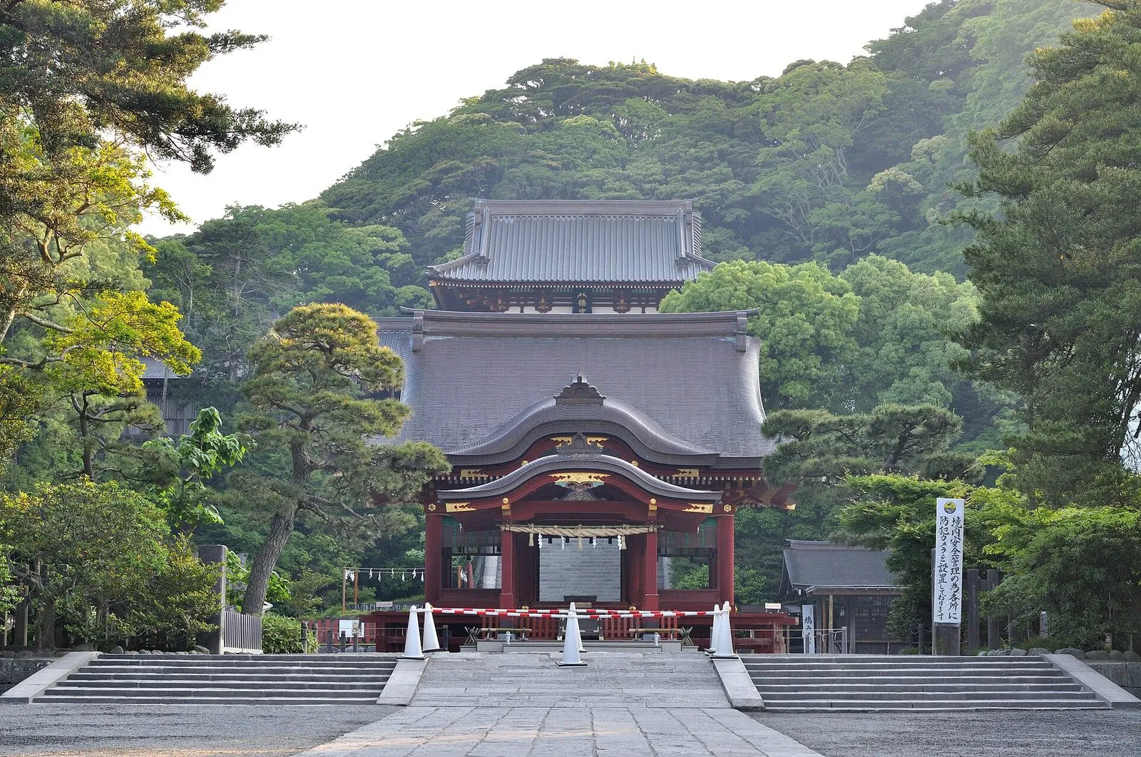
The shrine at the heart of Kamakura, tied to the shogun Minamoto no Yoritomo. From the main shrine at the top of the great stone stairs you look out over the town.
- Nearest station
- 10 min walk from Kamakura Station
- Hours
- Main gate 6:00–20:00; treasure hall 9:00–16:00
- Admission
- Treasure hall: adults ¥200, elementary students ¥100 (the shrine lists no charge for the grounds)
What to see
- The great stone stairs: from the top you see across Kamakura, and on clear days, the shrine says, out to the ocean and Izu Oshima island.
- Hongu (upper shrine) and Wakamiya (lower shrine), both Important Cultural Properties.
- Maiden stage: built where Shizuka Gozen is said to have danced for her lover Yoshitsune.
- Genpei ponds: dug for Yoritomo, with three islands in the Genji pond and four in the Heike pond, named for the two rival clans.
- Peony garden: a stroll garden by the Genji pond with winter and spring peonies.
Seasons
- Cherry blossoms on the Genpei ponds in spring and red and white lotus in summer; the Yanagihara pond is lovely in autumn colour (shrine's guide).
History
In 1063 Minamoto no Yoriyoshi brought the deity of Iwashimizu Hachimangu in Kyoto to a shrine near Yuigahama beach. Minamoto no Yoritomo moved it to its present site when he made Kamakura his base in 1180.
Getting there
A ten-minute walk from the east exit of Kamakura Station (JR and Enoden). The JR Yokosuka Line runs direct from Tokyo Station to Kamakura.
Address:2-1-31 Yukinoshita, Kamakura, Kanagawa
Map of sights in Kamakura
Tap a red pin to open that sight's page.
Nearby sights
← Kamakura guide: trains from Tokyo
Sources
Hours, prices and history come from the official websites and public tourism pages listed here. They can change, so check the official site before you go.
- 鶴岡八幡宮 公式サイト(交通案内)(checked 2026-10-24)
- 鶴岡八幡宮 公式サイト(境内案内)(checked 2026-10-24)
- 鶴岡八幡宮 公式サイト(由緒)(checked 2026-10-24)
- 鎌倉市観光協会(鶴岡八幡宮)(checked 2026-10-24)
Map data:© OpenStreetMap contributors